Berlin Adlershof 2026-06
- Location
- Berlin, Germany
- Provider
- co4e GmbH
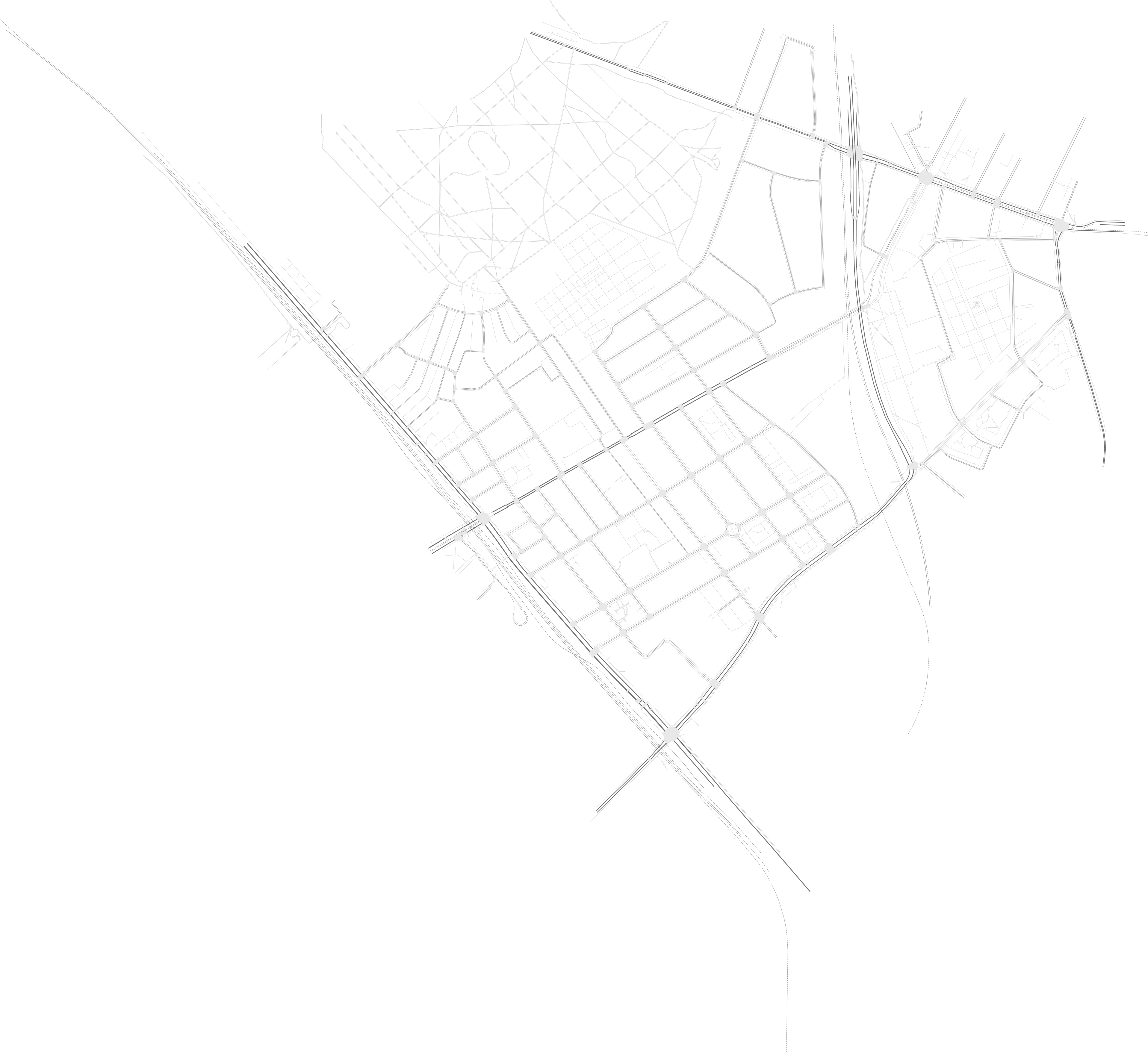
Urban mobility scenario along Dörpfeldstraße in Berlin-Adlershof, including motor traffic, bicycles, pedestrians, deliveries, parking and public transport.
- Start time
- 06:00:00
- Available duration
- 1 h
- Area
- 13.50 km²
- Mobility modes
- 7
Traffic demand is supplied by dedicated route and additional files for motor traffic with parking stops, delivery traffic, sampled bicycle traffic, pedestrians and GTFS-based public transport. The template covers the one-hour period beginning at 06:00. No separate calibration reference or calibration targets are currently documented with the source package.
Included traffic modes
- Bicycle
- Bus
- Delivery
- Passenger
- Pedestrian
- Rail Urban
- Tram
Technical Details Core scenario properties, supported resolutions and network bounds Show Hide
- Start time
- 06:00:00
- Available duration
- 3600s
- Floating Car Data output
- Available
- Size on disk
- 57.0 MB
Bounding box
- West (W)
- 13.518083
- South (S)
- 52.419140
- East (E)
- 13.573390
- North (N)
- 52.451398
Provenance & License Source, attribution and licensing information for this template Show Hide
Copied to clipboard!
